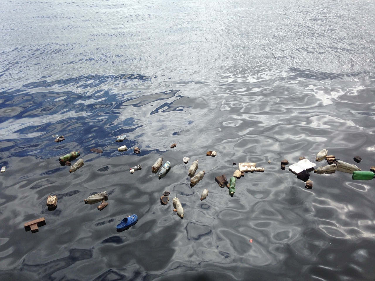
Ocean plastic piling up is a massive environmental catastrophe humanity is facing right now, and truth is, the magnitude of the problem is approached through rough estimations. The ocean is a vast place and a highly dynamic system featuring water currents, waves, winds, etc., so tracking plastic islands and plastic accumulations isn’t simple. Most of what we know is thanks to fishing boat trawler catch samples and other sporadic reports from almost random sources.
To finally introduce a more systematic approach to the problem, NASA has joined in the effort of tracking plastics in the Earth’s oceans and it uses satellite imaging and key data from its Cyclone Global Navigation Satellite System (CYGNSS) to do so. CYGNSS comprises eight small sats that can help determine hurricane strength, ocean roughness, wind speed, and current speed with notably high accuracy, so predictive systems can use that data to estimate where microplastics are and where they’re moving to.
The reason why this is so important is that having a clear idea of where the biggest “hotspots” are created enables us to plan clean-up operations and get the maximum out of the allocated budget for these programs. It is the first step in a colossal effort required to remove roughly 8 million tons of plastic and approximately 30 trillion particles of microplastic.
NASA hopes that providing an eye from the sky and data that illustrates plastic amounts on certain locations, ocean cleanup proposals to investors will get a lot more realistic, hopefully getting approvals.
From a scientific standpoint, the American space agency has to win knowledge on better understanding how plastic transport mechanisms in complex systems relate, the properties of surfactants, how roughness suppression is linked to their movement, how dispersion patterns are linked with seasonal variations, what role winds play on all the above, and how episodic river discharge events develop in time.


