You may think Google Street Maps is intended for modern-day roads but, in fact, in remote parts of the world people travel via canoes, walk along ocean beaches, or climb mountain passes to get where they need to go. These can all be tracked by Google.
Mapping the Oldest Inhabited Island in the World
According to the Google Africa Blog, the Island of Madagascar recently had its roads mapped by Google Earth and “Street View” images have just been released. According to reports, Google Street View cameras were ferried across rivers and lakes in canoes and powerboats to reach remote areas where the images were captured.
Major Effort Required to Map Madagascar
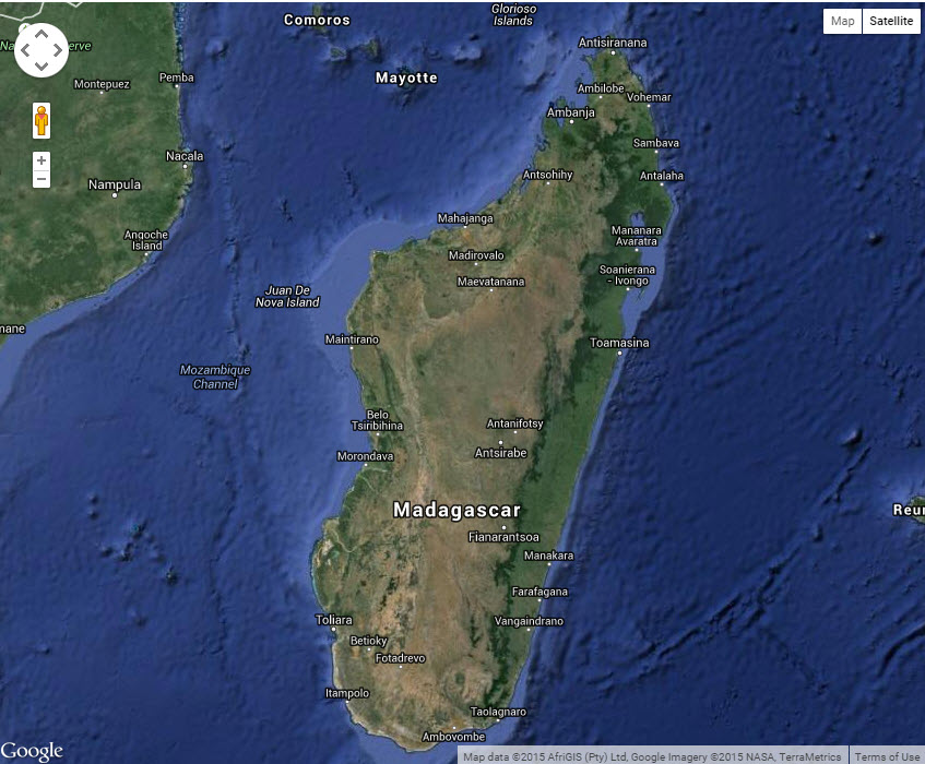
For those who don’t know the island’s exact location, it is off the coast of South East Africa. According to Google Africa:
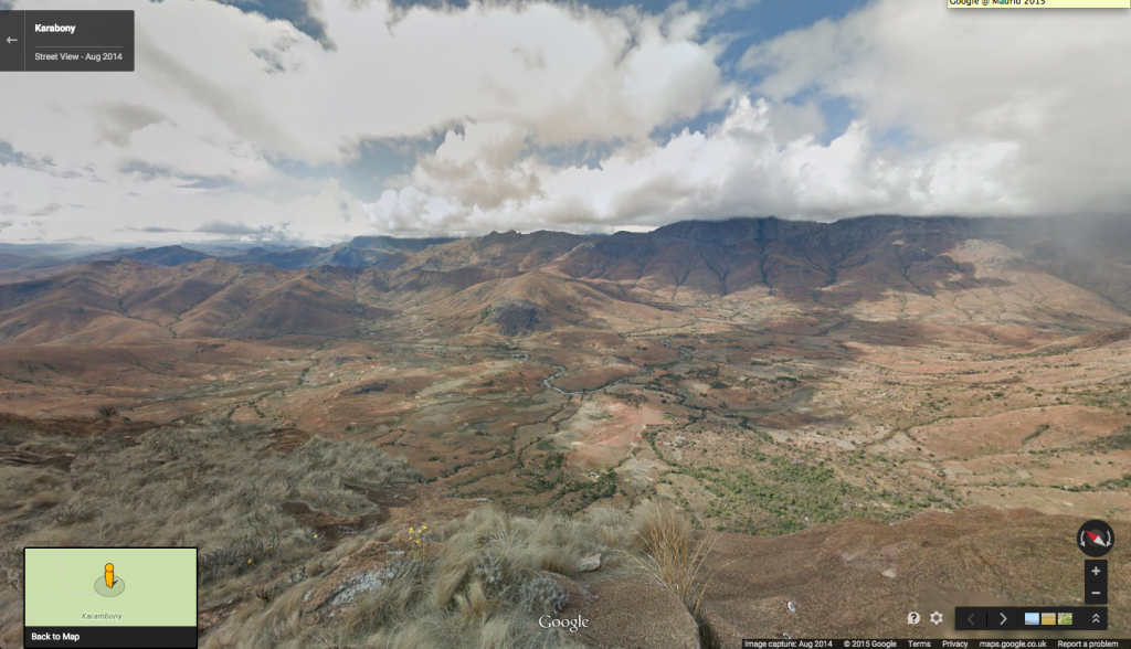
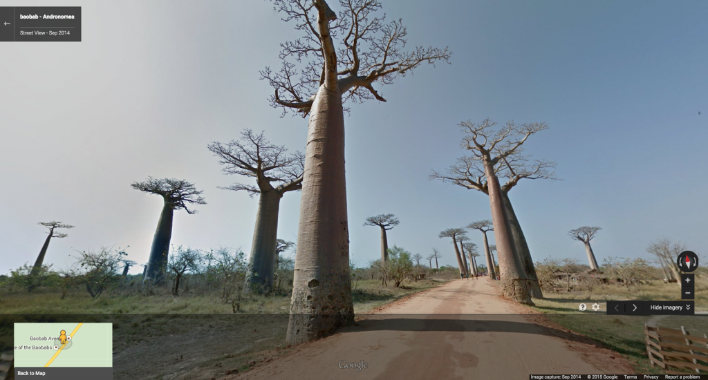
Now for the first time, through our Trekker Loan partnership with conservation organization Blue Ventures and the Department of Water and Forests: University of Antananarivo, the Madagascar Ministry of Culture, and Madagascar National Parks, you can take a virtual journey to Madagascar with Street View in Google Maps.
The following three links will take you on virtual tours created by Google Africa. According to Google Africa:
Now you can visit the Mangrove ecosystems along the North coast as well as go sailing on a pirogue 40km into the Mozambique Channel to see the remote Barren Isles archipelago, the largest community-managed marine conservation area in the Indian Ocean.

