Satellites are used for high-resolution aerial photos. But the satellites are highly expensive due to complex electronic and mechanical components. Launching satellites into orbit also require large rockets. Google Maps use images from several satellites.
Now a new balloon system claims to deliver high-resolution images at a much lower cost
A Colorado-based company, Urban Sky claims that it can provide high-resolution images at significantly reduced costs than a satellite.
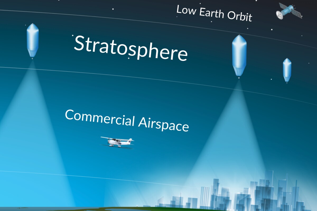
The micro balloon system is a reusable tethered ultra-high-altitude balloon
The 2.5-meter-diameter balloon is partially filled with helium that expands in volume as the balloon rises. By the time it reaches the desired altitude (above 18,288 meters), it becomes 5.5 meters in diameter. To retain the balloon at the desired altitude, the gas volume is maintained by releasing any excess gas out of strategically placed vents.
It carries underneath a payload module including a high-resolution downward-pointing camera
The camera is designed to withstand the extreme climate in the stratosphere. It rotates to capture the widest possible area of the ground as the balloon drifts horizontally. The camera rotation speed is synchronized with the speed of the balloon at each moment.
The images are then digitally stitched together to create one composite photo of the entire area. The micro balloon system can take images of approximately 1,000 square kilometers in an hour.
Once it has taken the required images, it can be brought down by the ground crew by remotely activating the payload module to release itself from the balloon. Gradually balloon loses all the helium and a parachute
Once the process is complete, a ground crew remotely activates the payload module to release from the balloon. The balloon loses all the helium, and a parachute helps in slowing the descent of the payload module and the balloon. The system can be reused once it reaches the ground.
Micro balloon system is already being used by Urban Sky for the United States Air Force
Urban Sky recently won a contract from the US Air Force to develop a version of the system for real-time monitoring of forest fires.

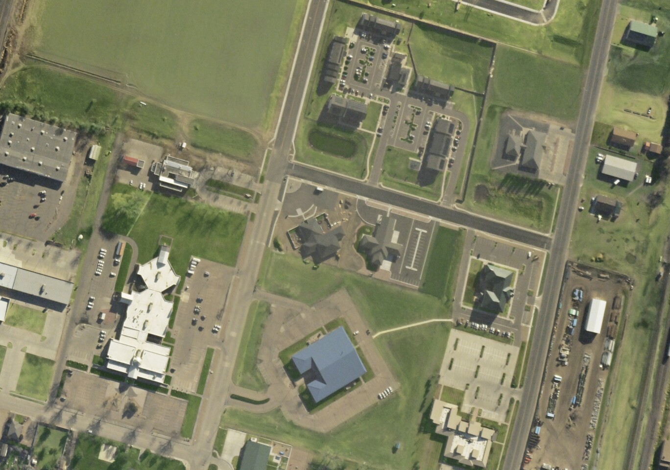
A portion of an aerial photograph taken by a Microballoon camera (Image courtesy: Urban Sky)


