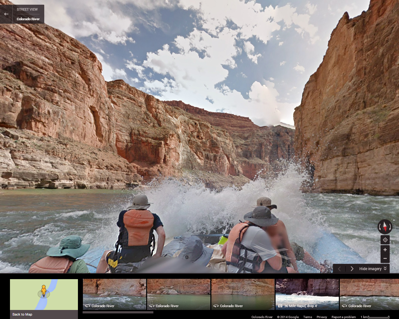
The Colorado River recently became the first river ever on Google Street View, creating a virtual way for people to explore the six-million-year-old, 1,450-mile long body of water.
It took 8 days to capture the stunning images. The panoramic 360-degree color images were taken using Google’s Trekker backpack-mounted cameras.
Take a behind-the-scenes look:


