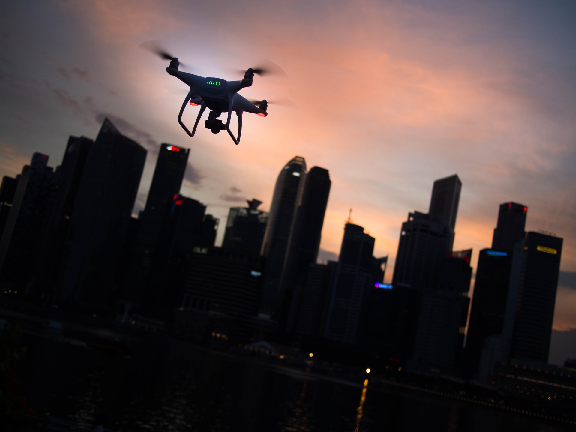
AirMatrix has announced the start of pilot tests of its drone flight traffic software in Calgary, Canada, gradually increasing the number of deployed units over the next 18 months. The goal is to test drone deployments of significant sizes that will carry out meaningful tasks in a large municipal city while respecting people’s privacy and flying safely.
Drones have already revolutionized photography and filming, aid in search and rescue operations, contribute to mapping, are used in remote technical inspections, and can even help in firefighting, but this is only the beginning. Drone tech is posed to redefine shipping and delivery, urban transportation, and policing.
One of the key practical challenges in urban drone flying is the lack of air security and control. Apart from setting zones and a maximum ceiling, the activity is totally unregulated today. This increases the chances of collisions, causing dangerous free-falling drones and making accountability and attribution over privacy violations impossible.
Today, regulating this space may seem like a stretch, but the absence of stringent and inviolable control systems actually slows down the deployment of drone-based fleets in cities. Also, when considering that by 2025, it is expected to have roughly 10 million daily drone flights worldwide, a new imperative need arises.
AirMatrix is a Canadian startup that builds millimeter-precise 3D network grids above cities, creating “drone roads” to which all units have to restrict their movement. When a drone wants to move from point A to point B, to deliver a burger, for example, its system connects with AirMatrix and receives the optimal route to follow. Because AirMatrix is centralized, traffic can be managed in a way that eliminates risks of collisions.
City authorities can intervene dynamically by defining privacy zones, introducing new regulations, or creating high-speed pathways and exemptions for more critical cargo, so AirMatrix can accommodate any changes required immediately.


