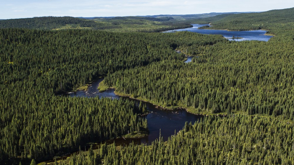
Canada is one of the world’s largest suppliers of forest products and is beginning to use Earth observation GIS technology, including remote sensing, to track 83 indicators to measure whether or not its forests are being developed in a sustainable way. The national project is known as ESOD, or “Earth Observation For Sustainable Development of Forests.”
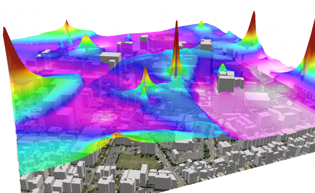
Real-Time Air Quality Monitoring
Geographical Information Systems (GIS) are an emerging technology being implemented in a variety of institutions and industries that are heavily dependent on large amounts of information in decision-making processes, services, and resources allocation. At the same time, those interested in advancing sustainable development need accurate real-time-based data to help make fact-based recommendations to business leaders and policymakers.
The information and data distilled from GIS is becoming part of the early development of planning in both the public and private sectors. GIS is being integrated with remote sensing (RS) technology, one of the more recent technological means of collecting, monitoring, visualizing, and analyzing information. Decision-makers are getting more information and becoming better at assessing data-based scenarios.
Emerging Field of GI Science & Sustainability
Geographic Information Science (GIScience) brings together fields that collect spatially-oriented information, including geography and cartography, and combine it with recent advances in cognitive and information science.
For a list of the 83 indicators with explanations, see the report by ESOD, or, to read a more complete overview, read “Environmental Sustainability: The Role of Geographic Information Science and SDI in the Integration of People and Nature.”
References and related content:


